 Favors.dev
Reverse Image Location
AI photo geolocation with visible scene clues to independently verify
- 1
- favorite
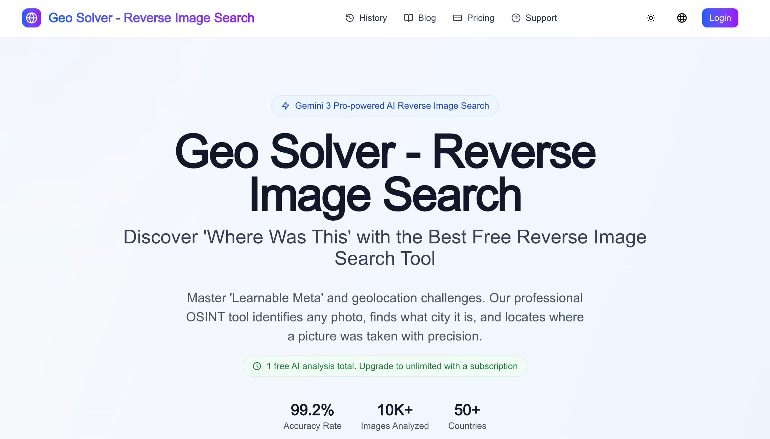
About Reverse Image Location
Reverse Image Location (GeoSolver) is an AI-assisted photo geolocation tool for GeoGuessr learning, travel research and lawful public-scene OSINT. Upload a photo to get location hypotheses and explanations based on visible signs, road markings, architecture, vegetation and terrain. One free AI analysis total is available, with optional paid plans. AI results can be wrong: independently verify hypotheses with maps, satellite imagery and other evidence. Do not treat outputs as proof or use the tool to track private individuals. Contact: support@reverseimagelocation.com.
Frequently asked questions about Reverse Image Location
Is Reverse Image Location free?+
One free AI analysis total is available; further access is offered through optional paid plans.
Are AI geolocation results proof?+
No. Results are hypotheses and may be wrong. Verify them independently using maps, satellite imagery and other evidence.
Community reviews
- Mark FultonMember · today
Fun one. The upload box sits right on the homepage, and the worked examples showing which clues it used, cobblestones, red soil, left hand traffic, each with a confidence score, make it believable before you try it. An MCP hookup and an iPhone app this early is more than most ship. The row of four unrelated apps right under the uploader felt a bit random though. I'd rather see a GeoGuessr round replayed where it talks me through the guess step by step.
Support this launch
Members earn points for sharing, reviewing, and giving feedback on Reverse Image Location. Not a member yet?
Join Favors.devYou might also like
- 4
SynthTest
AI personas built from deep research test your website or app to uncover why users drop off
- 3
Real Touch
Transform AI-generated portraits into authentic, realistic photos in under 60 seconds
- 3
Moltgate
Turn AI agent ideas into paid offers. Learn what sells, then automate what repeats.
- 2
Kingdom Life Architect
AI prompt engine for conversion-focused website blueprints.
- 2
Agent Ops Club
Access eight open source AI employees, the Agent Ops Masterclass, and 27 premium systems
- 1
InfluencerForge
Train one consistent AI model to generate photoreal social content, UGC ads, and motion clips